☎ +91 8277094555
Enquire Now
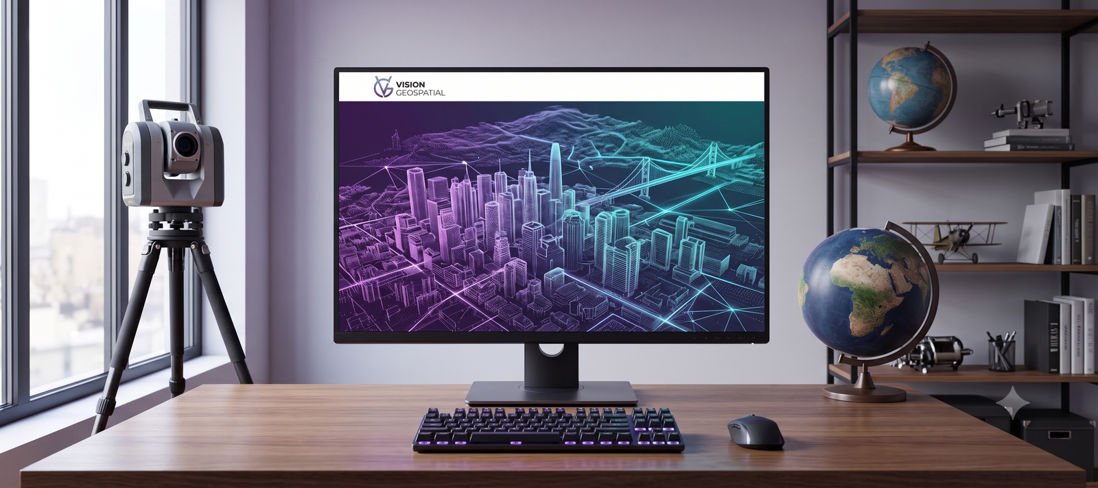
Vision Geospatial provides high-precision 3D laser scanning, LiDAR mapping, GIS mapping, BIM and point cloud processing services for architecture, engineering, construction, infrastructure and industrial projects worldwide.
From raw point clouds to fully coordinated BIM models — every service feeds the next stage of your project with clean, trustworthy data.
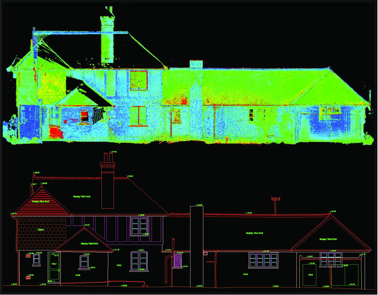
High-precision 3D laser scanning services for buildings, bridges, industrial facilities, plants, roads and infrastructure. We capture detailed point cloud data for accurate as-built documentation, 3D modelling and engineering analysis.
Learn more →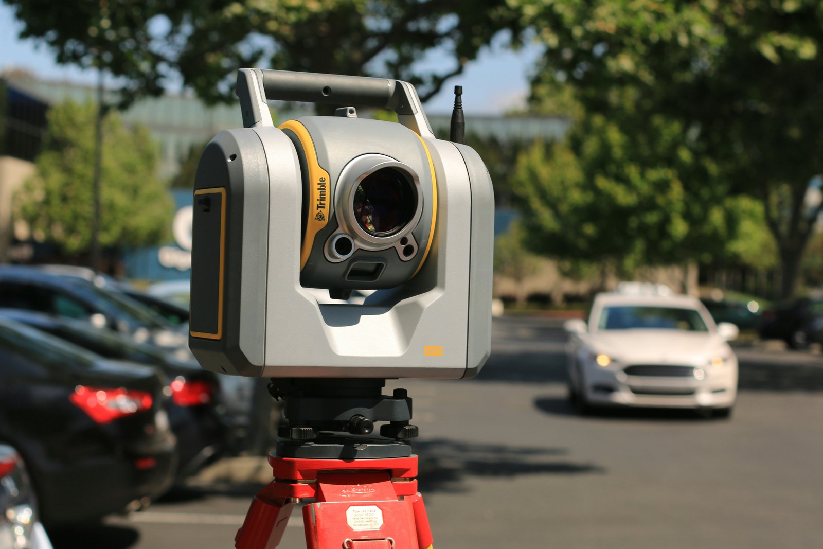
Airborne and terrestrial LiDAR solutions for terrain mapping, power line corridors, forestry, flood mapping, infrastructure and 3D city modelling.
Learn more →
GIS mapping and spatial data solutions including data conversion, geodatabase design, georeferencing, data migration, asset mapping and spatial analysis.
Learn more →
Intelligent BIM modelling services using point cloud data to create accurate Revit models, as-built documentation and coordinated architectural, structural and MEP models.
Learn more →Specializing in Point Cloud Processing, As-Built Modeling, and Digital Twin Creation for enterprise & industrial facilities.
.PTS .E57 .LAS .RCP
.RVT .IFC .FBX
.DWG .DXF .DGN
.SHP .KML GeoTIFF DEM/DTM
Our terrestrial 3D laser scanning systems achieve millimeter-level accuracy, ideal for accurate Point Cloud to BIM and structural deformation analysis.
We deliver parametric Revit As-Built models across LOD 100 to LOD 500, from conceptual design up to fabrication and operations.
Yes, we provide outsourced BIM modeling and Point Cloud processing for international clients with rapid 24–48 hour turnaround times.
From site survey to final CAD/BIM delivery, we ensure data integrity at every phase.
Capturing high-density point clouds using high-precision 3D laser scanners and LiDAR sensors.
Filtering, registering, and georeferencing raw point cloud data with millimeter precision.
Converting point clouds into intelligent Revit BIM models, 2D CAD drawings, or GIS layers.
Rigorous quality checks ensuring deliverables adhere strictly to client-specified LOD standards.