Every service is built to feed clean, trustworthy spatial data into the next stage of your project.
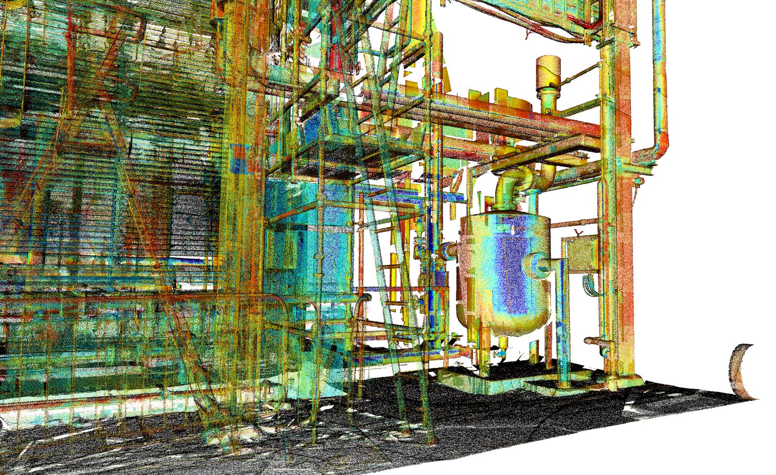 alt="3D Laser Scanning">
Our advanced scanning solutions capture intricate details with unparalleled accuracy, empowering industries to visualize spaces in unprecedented depth.
Using laser triangulation — directional light sources paired with video cameras — we achieve precise, comprehensive data acquisition, delivering 3D models accurate down to the nearest millimetre for production floors, bridges, water towers, roads and tunnels.
Our expertise extends to: Architectural Restoration (recreating templates and molds for CNC machining), Forensics & Deformation Analysis (comparing scans to original CAD files), and Fabrication & Construction Inspection.
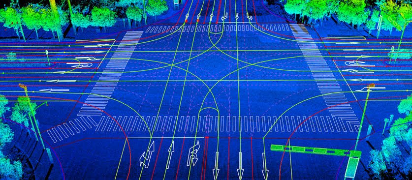
Vision Geospatial specializes in precise LiDAR data processing for power transmission, transportation, forestry, land use planning and emergency management.
LiDAR — an optical remote sensing technology using laser pulses to measure distance and surface properties — is a cornerstone of our portfolio. We process vast, dense LiDAR datasets to craft highly accurate 3D terrains and detailed structural content.

We resolve land-based facility database challenges for utility companies, municipalities, consulting firms, facility managers, town planners, architects and engineers.
Our approach begins with understanding your legacy systems, then designing and implementing quality procedures refined over years of industry-specific experience — across data conversion, loading, database design, maintenance, migration and integration.
Projects span survey and data collection, digitization/drafting, georeferencing/geocoding, data attribution, image processing, DEM/DTM generation, and migration from legacy systems like AutoCAD, MicroStation, dBase and Microsoft Access.
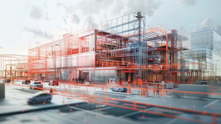
Building Information Modelling goes beyond traditional 2D drawings, creating parametric, intelligent models on a dynamic digital database where any modification reflects seamlessly throughout the entire model.
This collaborative approach synchronizes architects, engineers, contractors, developers and building owners across the entire building life cycle — from conceptual design through construction documentation.
A look at raw scan data next to the finished CADD / Revit models we deliver from it.


Warehouse facility: raw laser scan converted into an accurate architectural model.


Dense point cloud capture processed into a precise CADD site layout.


Process plant scan registered into a detailed equipment and piping model.


Structural frame scan converted into an as-built BIM model.


Full building scan transformed into a construction-ready Revit model.


Large industrial facility scan modeled into a complete plant layout.
Send us the site details and we'll recommend the right approach.