☎ +91 8277094555
Enquire Now
Vision Geospatial Private Limited serves national and global markets with a focus on innovative, efficient and top-quality spatial technology and applications.
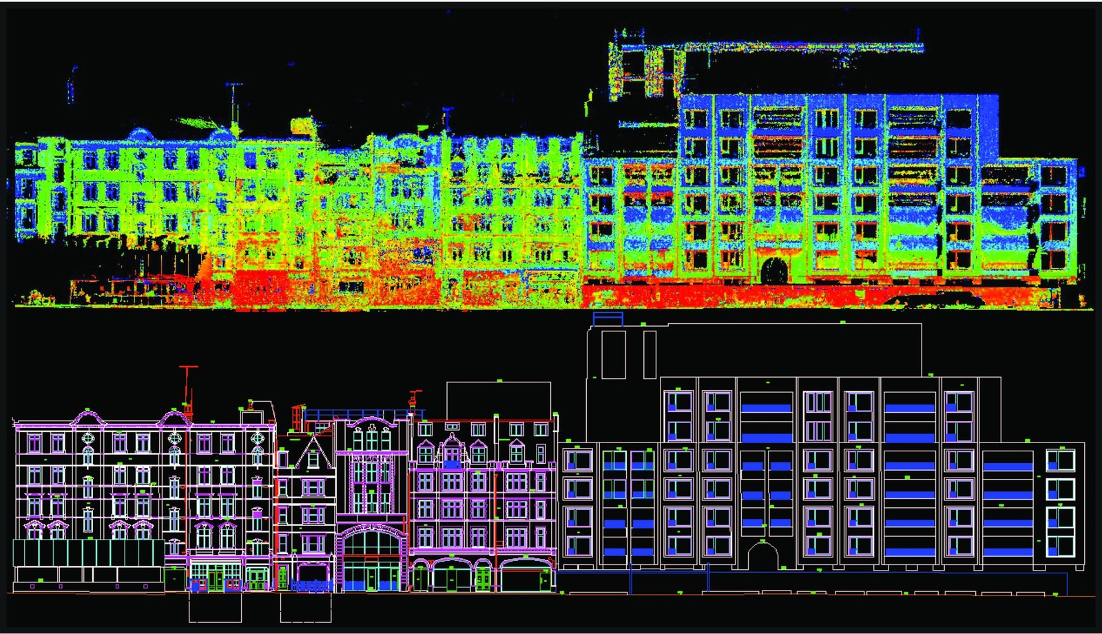 alt="Vision Geospatial 3D scan project">
We take pride in fostering a commitment to continuous improvement and pioneering innovation. Every engagement — from a single-site laser scan to a national LiDAR programme — is treated with the same discipline and attention to detail.
To be acknowledged as the foremost company providing cutting-edge geospatial solutions and analysis, globally.
Dedicated to enhancing our world through comprehensive geospatial solutions and analytical services.
Delivering timely, high-quality products and services that consistently meet or exceed our clients' expectations.
Combining millimeter-accurate sensors with strict NDA confidentiality protocols and 3-tier quality audits.
Fully equipped to process complex point clouds and render intelligent BIM/CAD environments.
Revit
AutoCAD
ArcGIS
MicroStation
Leica
FARO
Specialized spatial data capture and 3D modeling services tailored for global enterprise standards.
Converting raw point cloud data into parametric Revit BIM models across LOD 100 to 500 for MEP and architectural analysis.
Millimeter-accurate terrestrial laser scanning for industrial plants, heritage sites, and commercial structures.
Airborne and terrestrial LiDAR processing for power line corridors, forestry, flood modeling, and disaster response.
Geodatabase design, CAD-to-GIS migration, geocoding, and asset tracking for municipalities and utility networks.