Seven industries, one consistent standard of accuracy.
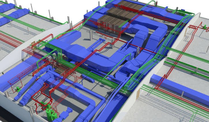
Comprehensive analysis and design solutions for buildings, bridges, equipment supports, towers and walls — using Revit, eQUEST, RISA-3D, BIM and state-of-the-art sensors & controls to deliver cost-effective outcomes for owners, contractors, architects and engineers.
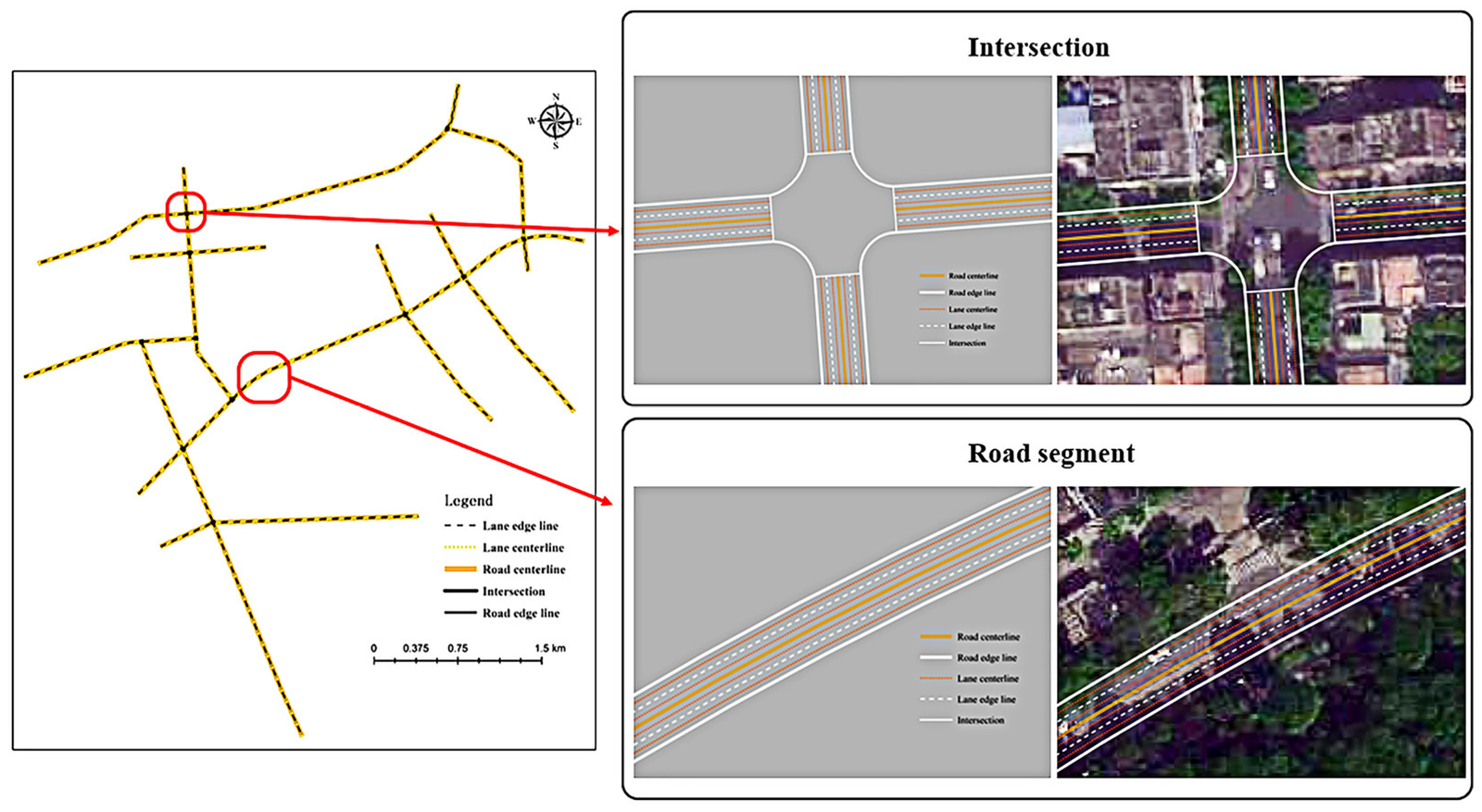
Road map updates and centerline mapping for highways and local roads, asset tracking & management systems, optimized routing applications, dynamic traffic flow updates, detour querying, and full road information management systems.
Cadastral and parcel mapping for property boundaries, topographical mapping with data overlays, Land Information Systems (LIS) for centralized data management, and high-resolution orthophoto imagery for accurate land analysis.
Land cover mapping and change-detection studies, thematic mapping, forest boundary digitization, and LiDAR/DEM/DTM modelling for 3D vegetation height measurement — supporting sustainable forest management and conservation.
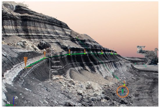
Underground geology mapping, faults & structural overlay mapping, lineament mapping for mineral exploration, and high-quality 3D surface map generation for mining planning and operations.
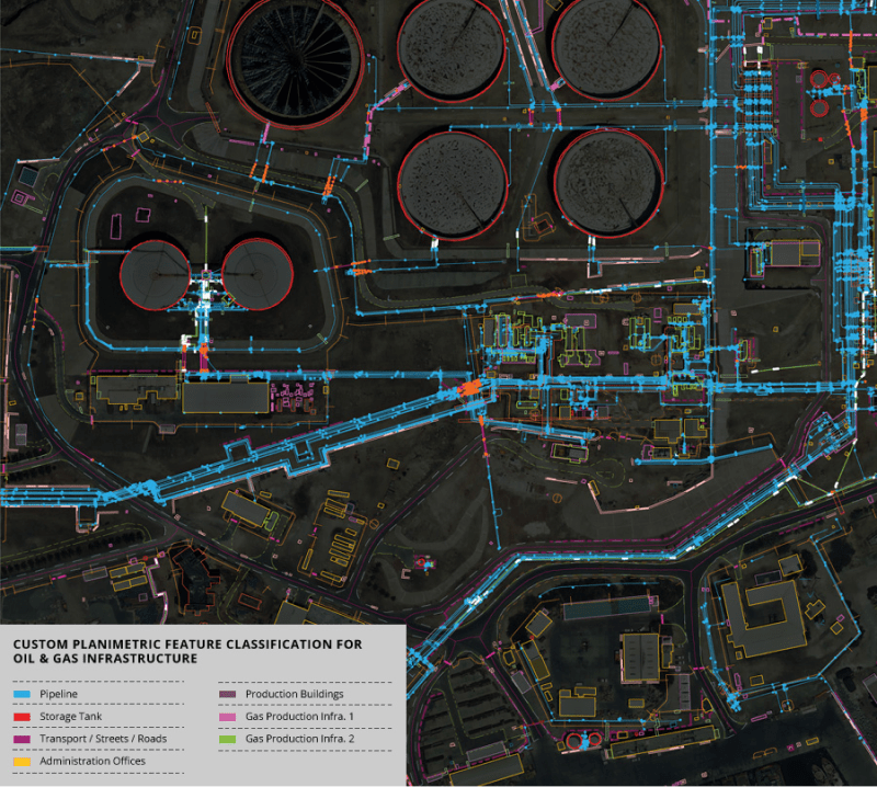
Pipeline mapping and data analysis, data index map creation, exploration surveys, block ranking via quantitative analysis, land management, well log digitization, thematic maps, and high-resolution imagery for field operations.
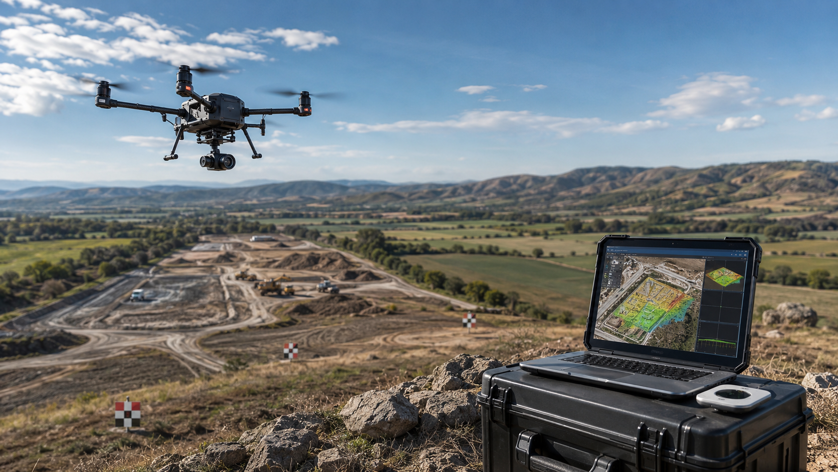
Utility mapping for asset management, UAV data processing for feature extraction and 3D modelling, thematic map development, LiDAR terrain analysis, custom application development, and CAD-to-GIS conversion.
We take on new sectors regularly — tell us about your project.